.JPG)
The Northern Montana Division of the Milwaukee Road was built to populate the vast lands of central northern Montana. It started in Harlowton MT, the beginning of the catenary to Avery Idaho, and a main division point where the steam/diesels coming in from the east gave the trains to the Boxcabs and Little Joes.
.JPG)
The Northern Montana division was not under wire, this was the the land of steam, and later diesels, whom roamed the grasslands and coulees in search of passengers, livestock, grain and minuteman missiles!
.JPG)
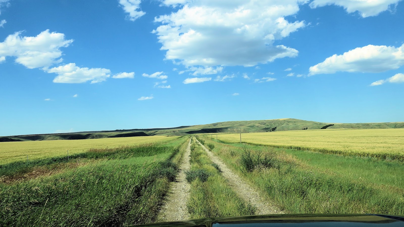
The NMD left Harlow from a wye just the east of the Harlowton depot, past the Montana flour mill, under the Hwy 12/191 overpass and north to Judith Gap, Straw, and eventually Lewistown Montana.
.JPG)
.JPG)
From Lewistown, a branch went east to Grass Range and Winnet, another went north to Hilger (see picture below), where it again split. Hilger had a wye, as well as Roy.

(The wye at Hilger Mt.)

One Branch went northeast to Roy, the other branch went north to Winifred Montana.


The depot at Roy Montana.

(The track and wye at Roy Mt.)
The Wye at Roy MT. It is very hard to see so marked it. The Roy branch ended just past the depot. In my research I understand that there was once a runaround track as well as a small stock yard. I 've searched for historic photos of Roy that shows these features but have been unsuccessful to date. If anyone has any they would like to share please comment below.

The depot in Winifred Montana.


These branches were out of Lewistown and hauled supplies to the small towns, and of course hauled grain back in. The NMD was going deep into Montana's "Golden Triangle", named so because of the many vast grain fields in the area. The division was a profit maker for the "Road"

(Grain being loaded outside of Lewistown)
But from Lewistown left the "main" line of the Northern Montana, going to Great Falls and ending in Agawam Mt. Great Falls-Harlowton brought the most traffic, and grain being the #1 commodity.
From Lewistown the line traveled west to,
Denton, Geraldine, down and up through the Belt creek coulees. This area was rugged, and required many high trestles and 6 tunnels. The soil in the area was highly unstable, and the Milwaukee Road fought this problem until the end of the line.

The ROW heading east towards the Red Coulee trestle.


"Red Coulee"


Red Coulee Trestle
 (damaged approach to Red Coulee)
The west concrete approach to Red Coulee had some kind of issue, causing the Milwaukee to repair it with this wooden replacement.
.JPG)
As compared to the east approach.

Tunnel #6
.JPG)
One grain loadout is still standing, the photo below shows how this was done.

The Milwaukee Road Golden Triangle Grain Train over Red Coulee Trestle.
From Lewistown the line traveled west to,
Denton, Geraldine, down and up through the Belt creek coulees. This area was rugged, and required many high trestles and 6 tunnels. The soil in the area was highly unstable, and the Milwaukee Road fought this problem until the end of the line.
The ROW heading east towards the Red Coulee trestle.


"Red Coulee"


The west concrete approach to Red Coulee had some kind of issue, causing the Milwaukee to repair it with this wooden replacement.
.JPG)
As compared to the east approach.

Tunnel #6
.JPG)
One grain loadout is still standing, the photo below shows how this was done.

The Milwaukee Road Golden Triangle Grain Train over Red Coulee Trestle.

Some of the line still exists today, used by the Central Montana Railway, based in Denton MT.
From Red Coulee trestle, the line continues west and passes to the north of Malmstrom AFB.
.JPG)
Yes the rails are still in place from the base into Great Falls, used by the BNSF to deliver coal to the power plant.

I believe the part of the central montana line is used at times by the "Charlie Russell Choo Choo", a tourist train that runs from Lewistown to Denton and back. We took a dinner ride on this train. They have a number of RDC's the the engines and traction motors have been removed, and have them set up as dining cars, pulled by a geep.
ReplyDeleteThis comment has been removed by the author.
ReplyDeleteYes this is correct, the Charlie Russel choo choo runs on the old NMD.
ReplyDeleteNice pictures, awesome historical record. I am hoping you can answer my question. Did the Milwaukee Road have plans to continue further North, or in any direction from Agawam? A northerly route connection to Canada seems plausible, also would've laced through some prime agricultural land.
ReplyDeleteHi JB
DeleteThanks for the comments. Yes I have read online (but can't confirm) that the line to Agawam would hopefully stretch into Canada. Another thing that would have made this economical, the Northern Montana Line was slated to be expanded and become their "second transcon", connecting from Great Falls to the Big Blackfoot Branch that leaves the main in Milltown MT (grading had actually begun on the branch to connect to Great Falls through the HWY 200 corridor, to the east it would leave Grassrang and connect to Miles City MT, effectively shortening the rum between the Miles City and Missoula. This of course never occurred, and one wonders how cool if it had?
Hello Dean, thats pretty neat about the 2nd transcon, in many ways its a shame the original Milwaukee Road didn't go through North Central Montana as the route it eventually choose paralleled the NP line too closely and invariably cut into their profits. Then again, its hard to predict the fall of Butte, which is what the first transcon had to go through. I read that at the time of the final bankruptcy that 33% of the shipping buisiness was coming out of central montana. A 2nd transcon would've made MIles City and Missoula that much busier, which would've led to an interstate highway through central montana, that as of today doesn't exist.
DeleteNow back to Agawam, directly North of Agawam is quite the rise, which is probably why Agawam was the end point, but after that rise the terrain is relatively smooth and stable for 30 to 40 miles until the Marias River confluences north of Valier. There are narrow gorges however, so one tall, but short bridge would've been the lone bridge until Canada. I am unsure of Milwaukee Road history in general, but there must've been animosity between Milwaukee and Canadian Pacific Railroad. Otherwise it seems the Missouri River to the Marias River watershed was the unofficial limits of MIlwaukee's northward borders. Nowadays, there is only two or three bridges, and a few ferries, that cross the Missouri River between Glasgow and Fort Benton. Hundreds of miles of rough terrain, but north of Agawam its easy going to Canada. What a missed opportunity!
Delete+If you watch the movie "Broken Arrow" the end of the movie train scenes were entirely filmed between Denton and the Judith River Trestle, beautiful scenic areas.
Delete